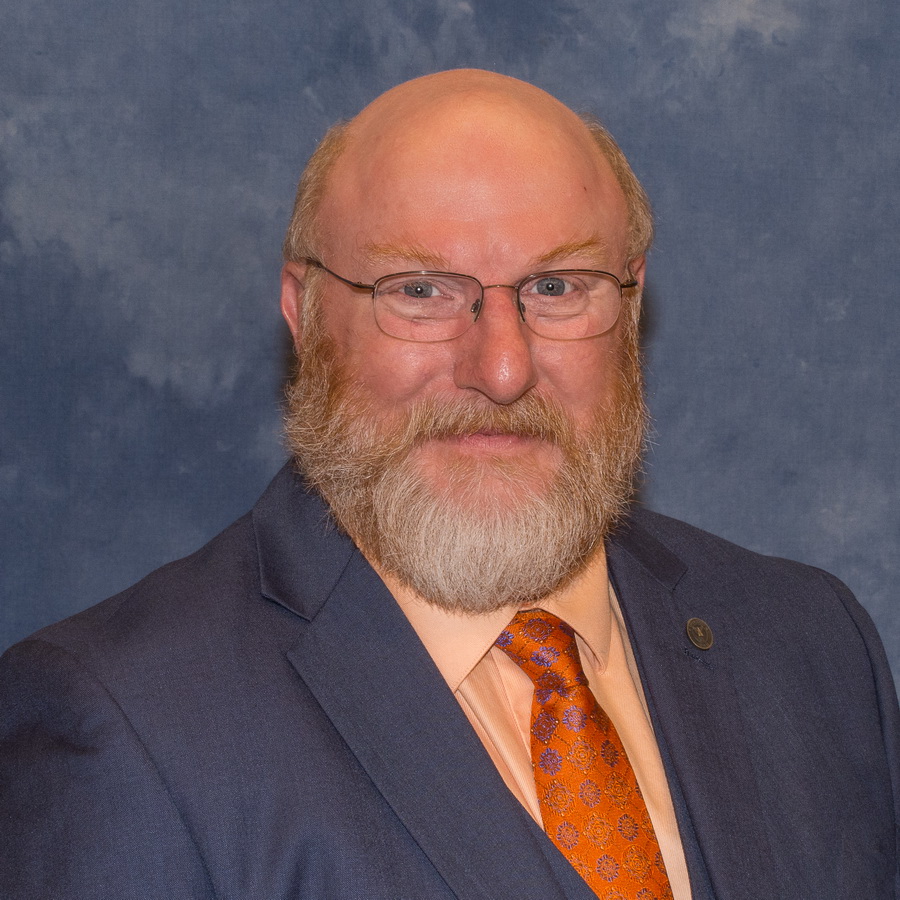
Bill Hazelton is a teacher, writer, consultant and business owner with extensive experience in the geomatics field. He has worked in the public, private and academic sectors on three continents over almost 40 years.
As a surveyor in Australia he worked on construction, geodetic, cadastral, topographic and control surveys. As a glaciologist in Antarctica, he collected extensive measurement data during almost 6,000 km of oversnow traverses. As a consultant he undertook and analyzed extensive deformation and forensic surveys. He has also worked in the GIS area.
He has taught at a number of higher-educational institutions, including: the University of Melbourne, The Ohio State University, St. Cloud State University, the University of Alaska Anchorage, Renton Technical College and Columbus State Community College. He is currently a professor at Troy University in Alabama. As an ABET program evaluator, he has visited several other programs during accreditation visits.
Dr. Hazelton has been a licensed surveyor since 1985, taught over 90 different courses, developed 80 different courses, and has published over 100 articles, books, chapters, and papers. He has been president of the Surveying and Geomatics Educators Society (SaGES) and a Director and Executive Committee member of the American Society for Photogrammetry and Remote Sensing (ASPRS).
